
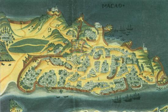

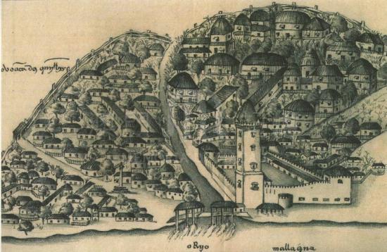


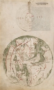
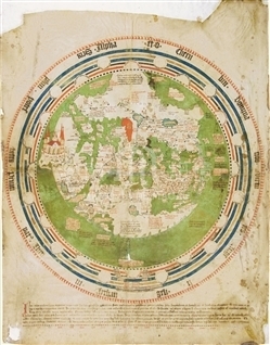
Atlas of ten maps depicted in color on parchment, bound in leather with gold imprints. On the spine, it is written at the top: 'Portu[lano]'; while at the bottom: 'sec. XVI.' The closed volume measures 25 x 19.5cm. The parchment sheets are double-sided and measure approximately 20.5 x 32.3cm. The volume contains fifteen parchment sheets, plus four blank paper sheets at the beginning and four blank paper sheets at the end. The recto side of f. 1 is blank, while on the verso side there is a miniature depicting Christ falling under the Cross. On the recto side of f. 2 is a richly miniated cartouch with a coat of arms, which has been mostly erased, and the inscription: 'Libri Tolomei nvnc taulele indescripcio tota/mundi et universa insvla porta et capiti', which should be corrected as 'Libri Ptolemaei seu tabulae cum descripcione totius mundi et universis insulis, portubus et capitibus'; on the verso side of f. 2 is a table of declinations. On f. 3r, there is an armillary sphere; while on ff. 3v- 4r a zodiac calendar richly miniated with a small circular planisphere in the center. On ff. 4v-14r there are the ten maps: 1) The New World and the Pacific Ocean; 2) The Atlantic Ocean and surrounding lands; 3) The Indian Ocean; 4) A chorographic map of Central Europe; 5) The Iberian Peninsula and Northwest Africa; 6) The West Mediterranean; 7) The Central Mediterranean; 8) The East Mediterranean; 9) The Black Sea; 10) An oval planisphere. Folio 14v contains a miniature: in the center is a representation of the suffering of Christ who is on his tomb; around him, are images of the sun and six planets, with figures representing their respective deities. The f. 15r has a figure of Christ blessing on a golden background, surrounded by golden ornaments. On the map of the Indian Ocean, with the coastlines of Africa (starting with Guinea), the Southern and Eastern coasts of Asia, until 'agoa de paneicoda', 'china' is written in red, and close to it other several China coastal names in black, including 'rio di canton.' According to Almagià, this atlas is a faithful copy of Agnese's type as Barb. lat. 4357. The copyist committed numerous errors of transcription.
Reference:
[1]. ALMAGIÀ, R. (1944). Planisferi, carte nautiche e affini dal secoli XIV al XVII esistenti nella Biblioteca Apostolica Vaticana. In Monumenta cartographica vaticana (vol.1, p. 71). Città del Vaticano.


Informações relevantes
Data de atualização: 2020/09/08
*Este mapa histórico destina-se exclusivamente a fins de referência académica e de investigação, não tendo qualquer validade oficial ou legal.
Comentários
Comentários (0 participação(ões), 0 comentário(s)): agradecemos que partilhasse os seus materiais e histórias (dentro de 150 palavras).